Backcountry Navigation Options/Apps
The Right Gear and a Little Knowledge Can Keep Your Wilderness Travel on Course
In the backcountry, away from civilization, you are just one mistake away from turning an enjoyable outing into a struggle for survival.
We tend to be more carefree during an outdoor adventure. However, we don’t always think of becoming lost and the bad things that can happen as a result. Add to that the fact that we’ve become dependent on having a little electronic voice tell us when to turn right or turn left.
Fun Times Can Take a Wrong Turn
If you’re not properly prepared for traveling off pavement, you can suddenly be caught off-guard and become lost. How does this happen? Multiple scenarios can lead you astray, including some of these possibilities.
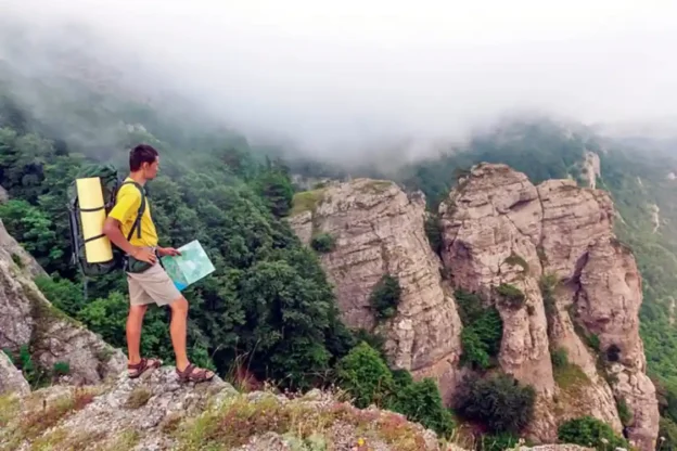
You’re on a hike and have no intention of leaving the marked trail. But you’re distracted by the beautiful scenery. You step off the trail momentarily for that special photo to post online. Or maybe you sneak off discreetly for a bathroom break. Maybe downed trees from the last storm block your path and you’re forced to walk around them, or the trail ahead is overgrown and not well marked. In any case, you can’t find your way back to the trail. First you feel silly. Then panic sets in.
“If you have at least two identifiable landmarks, you can use your map and compass to triangulate your position.”
Maybe you’ve misjudged the terrain and the time it takes to cover the distance. Or maybe you’ve twisted an ankle along the way, and it slowed you down. Either way, now you’re left in the dark and you can’t see the next trail marker. You follow what looks like it might be the trail, but it isn’t. Soon you find that you’ve lost your way completely.
Maybe you’re tagging along on a hunt and are depending on a friend who’s supposed to know the area. You become separated unexpectedly or find that your friend was over-confident about his/her familiarity with the region. No roads or trails are in sight. You think you know the right direction, but after a short distance nothing looks familiar.
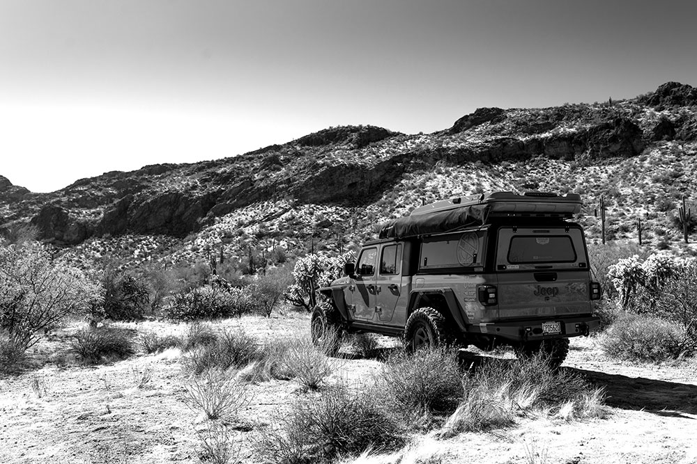
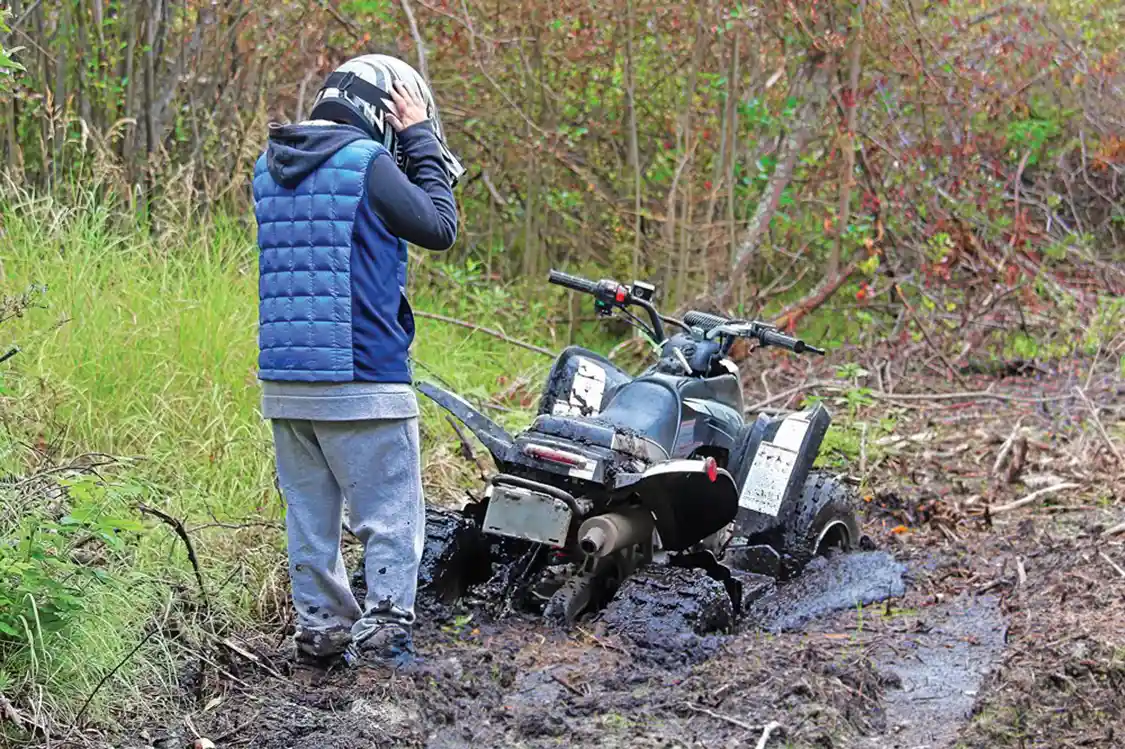
You’ve been hitting the dirt with an ATV or other off-road vehicle, enjoying the seemingly endless maze of trails. The vehicle breaks down and you suddenly realize that with all of the twists and turns, you’re not sure which direction leads out.
Whatever the situation may be, you’re happy to be in the outdoors, but not so happy to be stuck out there. With a little preparation and survival know-how, a traumatic situation can turn into a little mishap while out on an adventure.
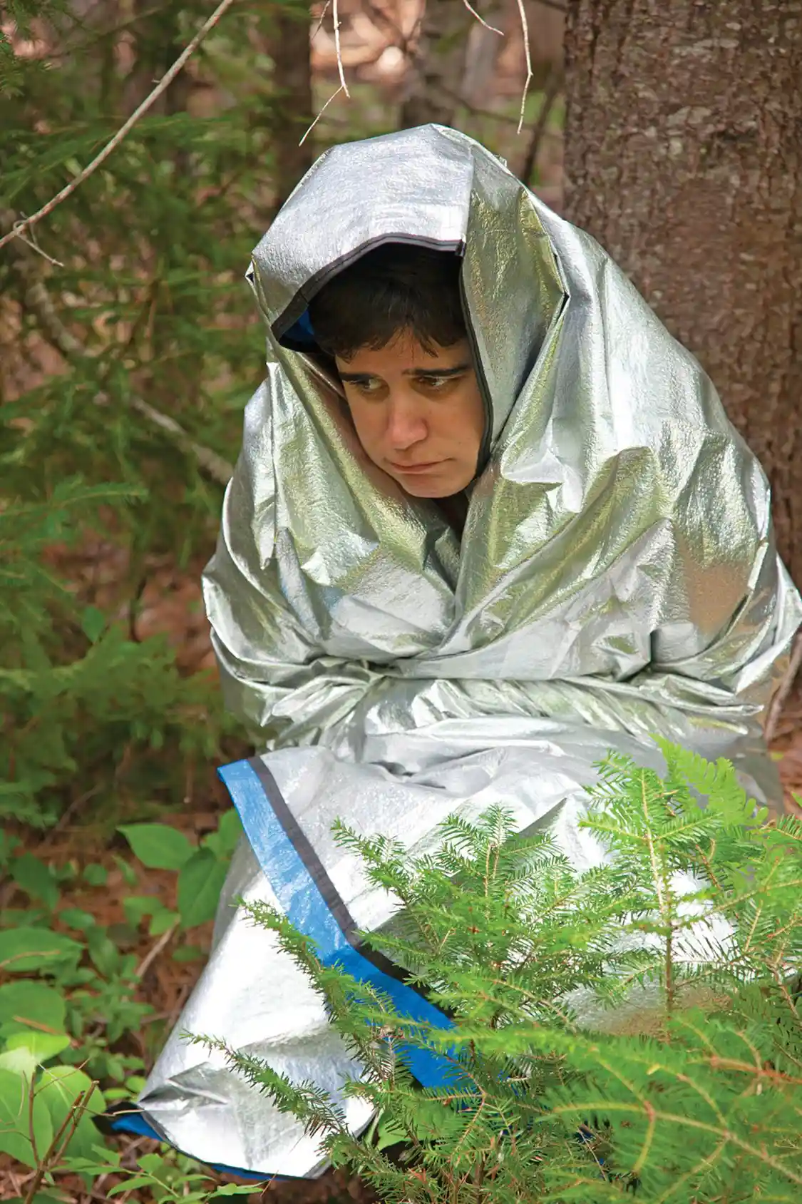
Tips to Prepare Yourself for the Trip
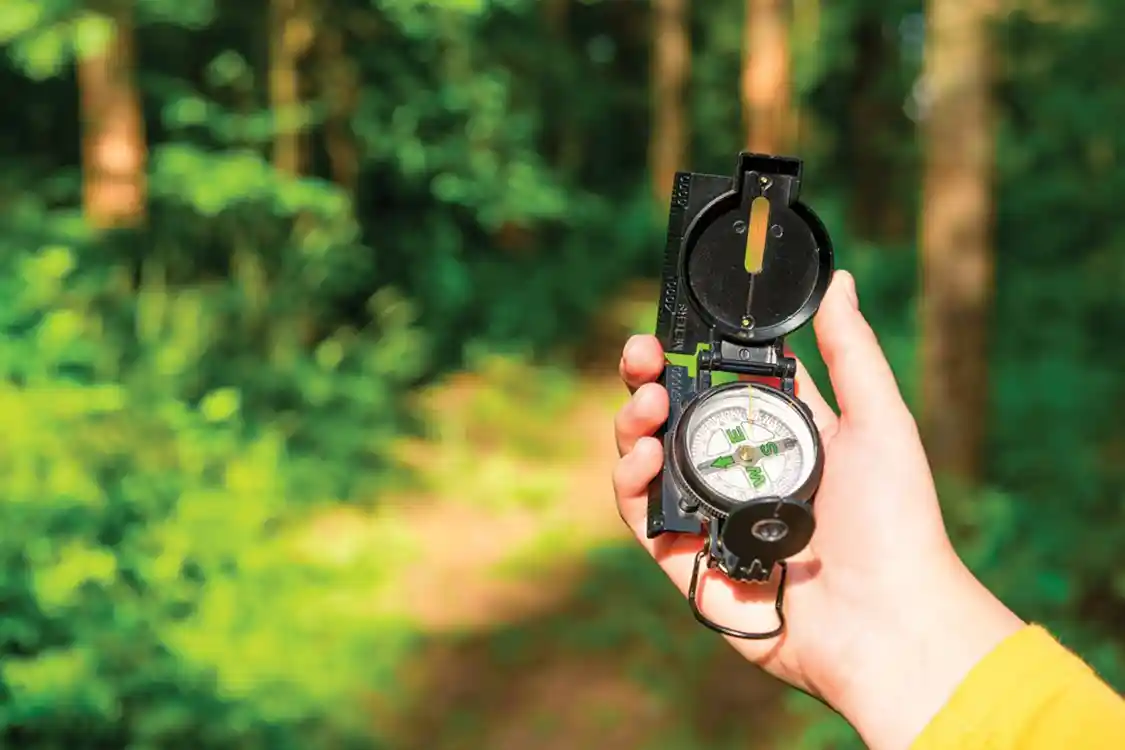
Bring a compass. Of course, bringing a compass does no good if you don’t know how to use it. Many who become lost end up wandering in circles. The first backcountry navigation skill you need is how to follow a compass bearing. If you know the road out is to the south, for instance, take a compass reading and pick an object—a particular rock or tree—that’s in line with the direction you need to go. Keep that object in sight even if you have to walk around obstacles in the way. When you reach the object, take a new reading and follow it to the next object in sight that’s in line with that direction.
A small compass is fine for rough navigation, but you should also have one with a clear baseplate that can be used with topographic (topo) maps to plot precise courses. When used with a map, you need to know how to account for declination—the difference between magnetic north where your compass needle points and true north that’s indicated on the map. A good map will note the degree of declination and you can adjust your bearing the proper number of degrees accordingly. Also, a factor to consider, a compass still works when the batteries in your GPS unit or cell phone have died.
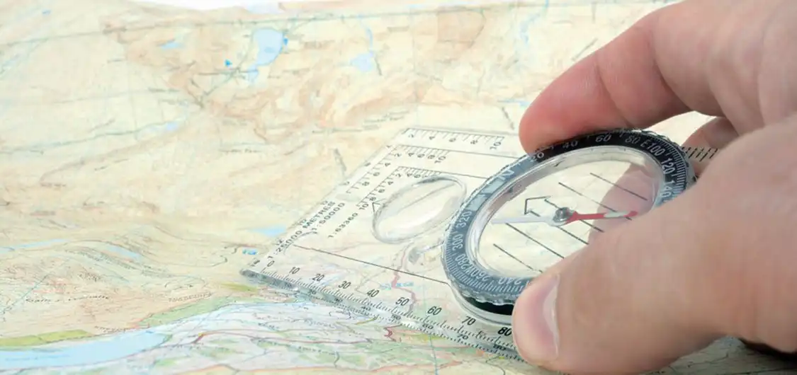
Know your boundaries. Naturally, a compass is more useful if you know which direction to take. Wilderness areas aren’t so scary when you know your boundaries. This allows you to navigate roughly by “thinking inside the box.” For instance, maybe you’re traveling north of the east-west dirt road you came in on, so that road is to your south. You know there’s a river running roughly east and west to your north, a line of cliffs to your east and nothing for miles to the west until you come to a major highway. You know your boundaries and no matter how much you travel, as long as you don’t cross one of those boundaries, you’re in that box.
That east-west dirt road is your baseline. If you’ve headed mostly north on your way in, you would travel mostly south on your way out, obviously. However, you don’t want to come out to the dirt road and not know whether your car is parked miles to the east or west. You don’t want to walk needlessly in the wrong direction on the road. So, on your way back, instead of walking exactly south, you might head slightly southwest. So, when you hit the road, you can be confident your car is to the east along that road.
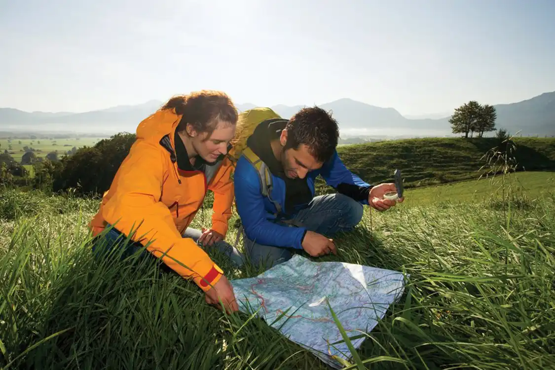
Carry a map. The trouble with merely following a compass bearing is that the best path is not necessarily Point A to Point B. A good topo map will indicate the terrain between you and your destination—the cliffs, swamps, rivers, and other obstacles in your path. Using your map and compass together, you might be able to plot a course to avoid difficult terrain. The contour lines on a topo map will tell you not only the shape of the terrain, but the elevation: how steep up or down it’s going to be. To avoid the steepest terrain, use this adage: “Lines close together, another way’s better.”
Topo maps can be downloaded for free from the U.S. Geological Survey at Shop.USGS.gov, or they can send you printed maps for $15 each. MyTopo.com is an excellent source of custom-made maps either laminated or on water-resistant paper. A tip for backcountry navigation: It’s wise to carry maps in resealable plastic bags folded to show the area you are covering. This way you can view it without removing it from the bags. Also, you don’t want a map that covers too wide of an area or you’ll lose some valuable detail. Maps that are mostly in 1:25,000 scale work great. They cover an area roughly 8.7 miles by 12.6 miles where 1 inch on the map equals about 0.4 miles on the ground.
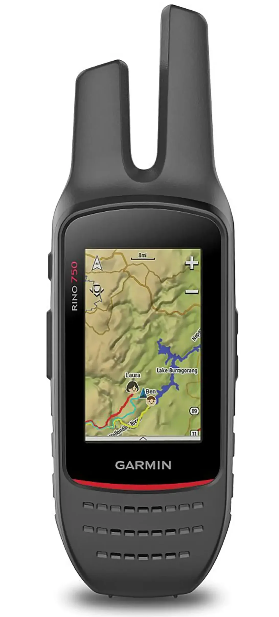
Invest in a GPS unit. A GPS unit designed for backcountry travel with topo maps loaded can be a valuable device to take on any journey, although you should still carry a compass. With a GPS unit, you can mark the precise location of your camp or where you parked your car. You can plot a route to navigate to a precise location easily and mark specific waypoints along the way. A GPS can track the path you’re taking and allow you to follow that exact path back. It also gives you valuable information, such as the distance you traveled and, at your present pace, how long it will take to reach your destination. That’s valuable if you need to reach a certain point before dark.
Garmin has a wide selection of GPS units for wilderness travel and some feature built-in two-way radios that will plot the locations of other people in your party who are also using those units. A GPS unit can also be used for other activities, like mountain biking, to give trip information, such as distance traveled, and average speed.
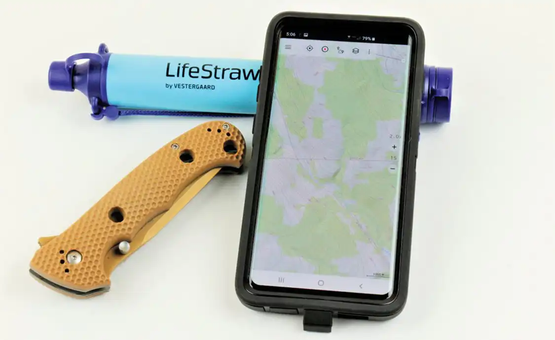
Get phone apps as a backup. Yes, there are apps you can get for your cell phone for GPS navigation in the backcountry. While usually not as elaborate or dependable as a dedicated GPS unit, they can be quite handy. U.S. Topo Maps Pro and Backcountry Navigator Pro provide good results. Both are available through online app stores for $11.99 and are good investments. The free versions of these are limited, so it’s better to spend the money to get the full apps.
Be aware that if you’re using your cell phone to make calls, take photos, and post things online during your outing, you might not have enough battery left for the backcountry navigation app when you finally do realize you’re lost. Also, in remote areas you won’t necessarily have cell phone service. While you still can use the GPS apps without a cell signal, you won’t be able to continually download topo map data. So, make sure you download map data in advance. It’s wise to have a navigation app and an electronic compass app on your phone, if at least for backup use.
Tips to Help If You Get Lost
Let someone know where you are going. Before you go, make sure someone knows exactly where you’re going and when to expect you back. Don’t change plans without letting someone know. If proceeding on foot, leaving a note on your vehicle’s dashboard can help to narrow down a search area for rescuers.
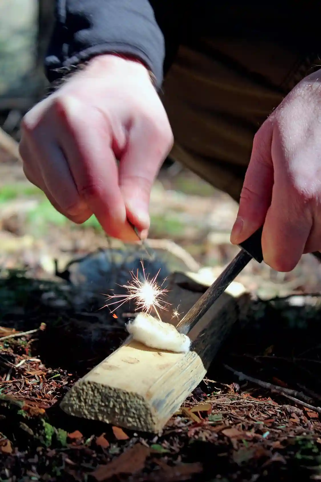
Carry basic survival gear. When you’re lost, survival can depend on maintaining a calm, positive mindset and not panicking. One way to stay confident is by carrying basic survival gear in a daypack. Once you know you are prepared for an unexpected night’s stay, being temporarily off course won’t seem like such a dire situation.
Read the terrain. If you’re lost, there are ways to use your map and compass to your advantage. Try to read the terrain—the hill to your left, the stream to your right, the gully straight ahead—and locate the alignment of those areas on your topo map to find your location.
If you can get to high ground that gives you a good vantage point; you might be able to spot a pond, river, distinctly shaped mountain, or other terrain feature that you can also locate on your map. If you have at least two identifiable landmarks, you can use your map and compass to triangulate your position. Basically, you would take bearings to those landmarks and draw lines from those locations on your map 180 degrees back from those compass readings, again compensating for magnetic declination. Where the lines intersect is your location.
Decide to stay or go. One of the most difficult decisions when you’re lost is whether to stay put or try to find your own way out. Generally, if you’re with a vehicle or downed plane that can be seen from the air you want to stay with it. If you believe you’re in whistle range of the trail where rescuers might start to search, it might be better to stay put too.
However, if no one knows your travel plans and when you’re expected to return, you might be on your own. If you’re in a densely wooded area where signaling is difficult and where the FLIR (forward-looking infrared radar) on rescue helicopters isn’t effective, you might have to find your way to open ground. If you must walk out, mark your trail, which could aid search parties.
Train in the basics. Reading how to start a fire is one thing. Really being able to light a fire is another matter. The same thing applies to using a map and compass. Practicing basic survival and backcountry navigation skills will increase your chances greatly.
Travel with Confidence
Being confident in being able to independently navigate remote areas will make your outings more worry-free and will allow you to experience wilderness wonders that few others get to witness.
Survival Pack Essentials
- Navigation gear
- Water bottle
- Water filter
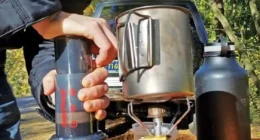
- A metal cup for purifying water (by boiling) and cooking
- More than one way to make fire
- A flashlight
- A whistle
- Food (energy bars)
- An emergency blanket for warmth
- Paracord
- Basic first-aid kit
- Poncho that can also be rigged into a shelter
Enjoy this story? Enjoy the whole issue … for free! Click here to download your FREE copy of Tread March/April 2020.
Editor’s Note: A version of this article first appeared in the March/April 2020 print issue of Tread Magazine.

